
We do not have to say much in order to describe such a race: its name only is enough “Vertical Kilometer”. Athletes have to run a short distance gaining a positive difference in altitude of 1.000m. Only a few paths all over Greece can accommodate such a race. That is, in a distance shorter than 5Km (as defined by the international standards) the positive difference in altitude must be 1.000m. On Olympus Mountain the well-known path “Goumarostali” is considered as ideal. The course of the one thousand vertical meters is completed in a distance of 4,3Km.
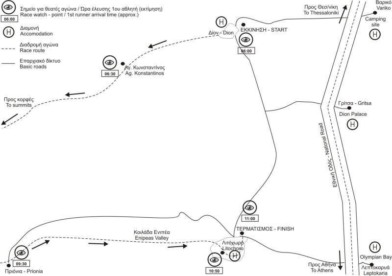
The start is given from the dirt road just before (250m) the car park of the location "Priona". Just over the stream (concrete) where there is the lowest point of the dirt road (that is the road that leads from Litochoro to "Priona").
The altitude at the Start is 1.047m. The first section (250m distance) is a mild uphill on the dirt road that serves as an “expansion” for the athletes so that they enter the path in a row.
The original direction is to the south, while the entrance to the path leads westwards. The entrance to the path is at the "Priona" car park area. From the very first steps, the steep uphill is noticeable and the markings are made with blue paint on trees and stones. Trees provide shadow to the path to relieve the athletes from their intense effort. In the maneuvers that the path makes, athletes have the opportunity to overtake.
At 0,5Km (altitude 1.147m) the path reaches to a ridge. The path follows that ridge. At 0,9Km the gain in altitude is steep, and the direction here becomes north-western. At Km-2,0 (alt 1.630m) the path crosses the stream and the direction is now northwards. At Km-2,5 (alt 1.695) we make a U-turn and we follow a southbound direction (we ignore the path that moves in north direction and leads to “Petrostrougka”.
This section is smoother in inclination and allows the athletes to get their breath back, and increase their pace. At Km-3,3 (alt 1.760) we reach a glade (clearing) on a ridge, and we turn to the west.
A last steep ascent takes us to the finish line. We follow the ridge and we reach to a large glade (clearing). At its highest point, at an altitude of 2.063m after a distance of 4.256m from the start.